
GEOMATICS AND SURVEYING
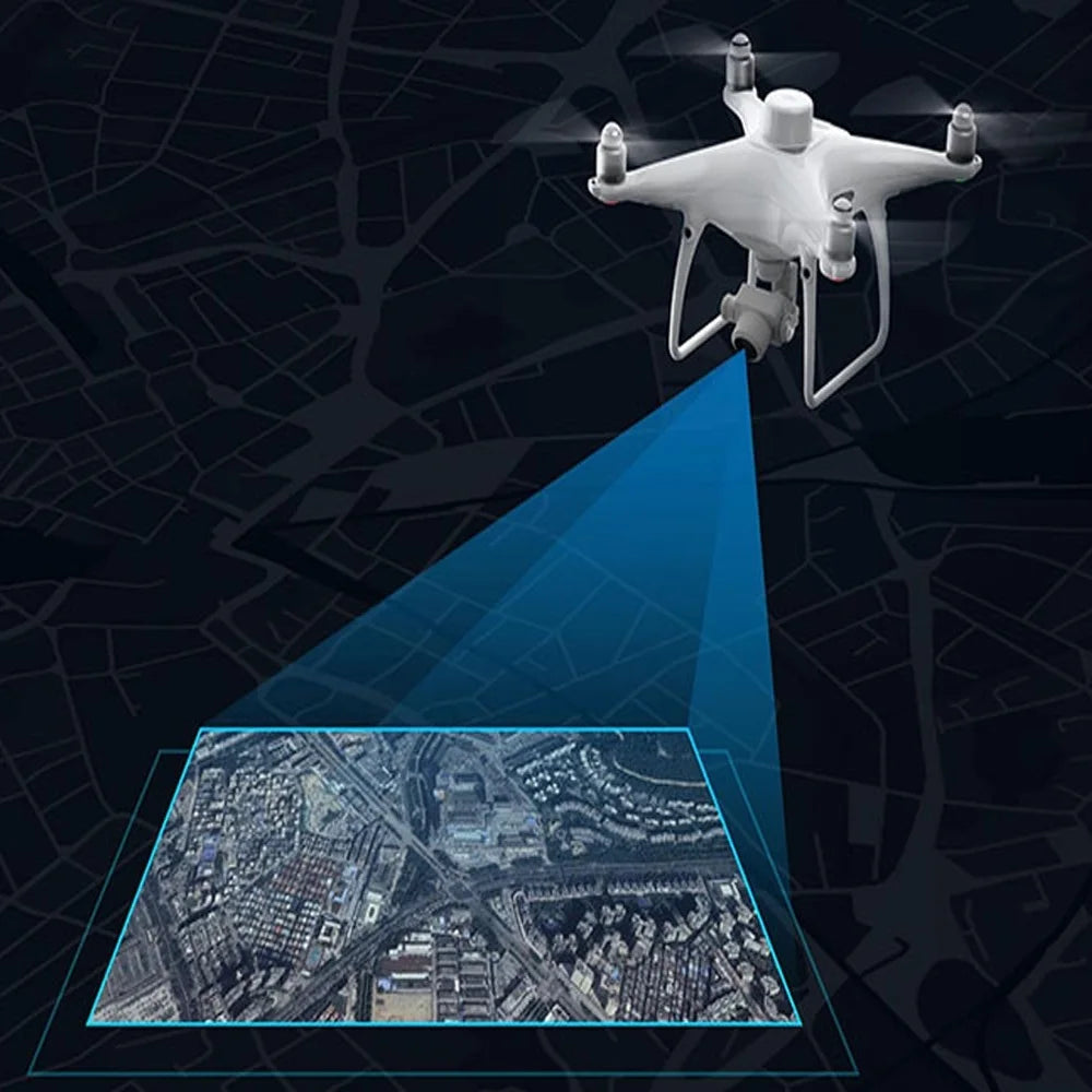
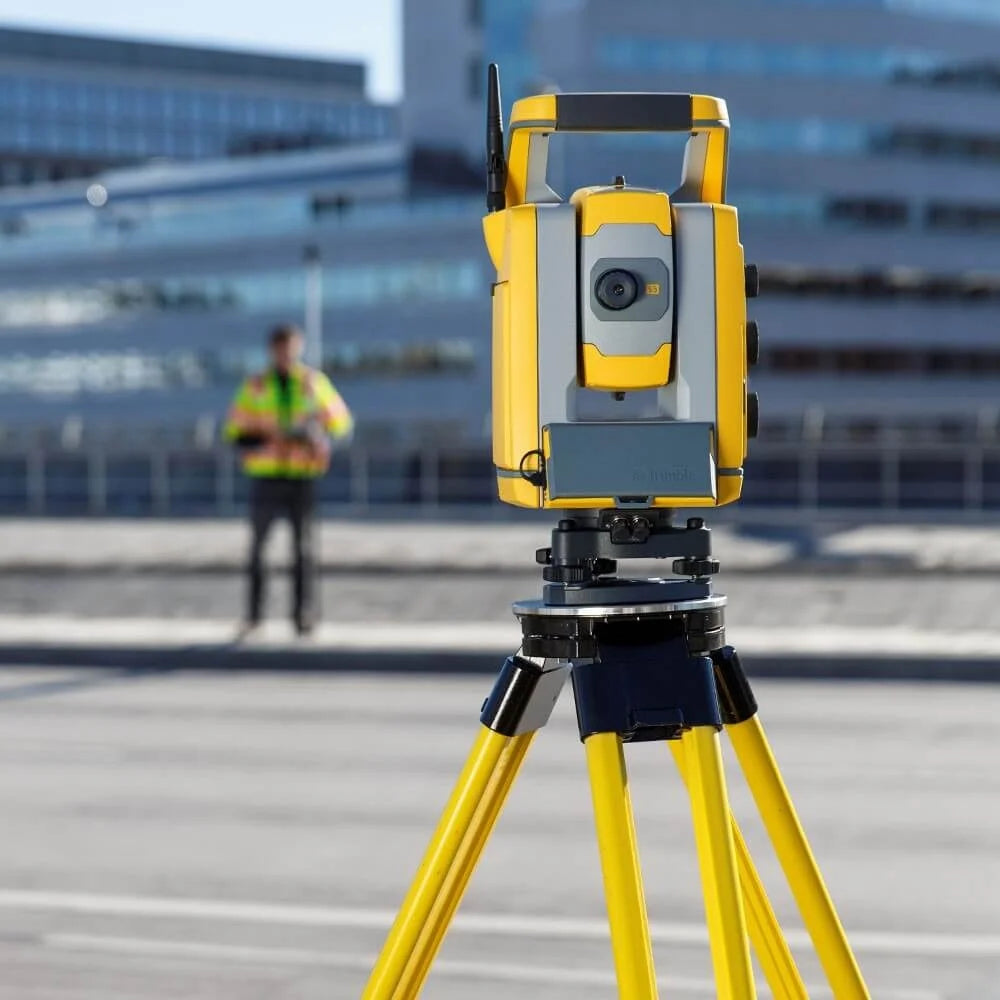
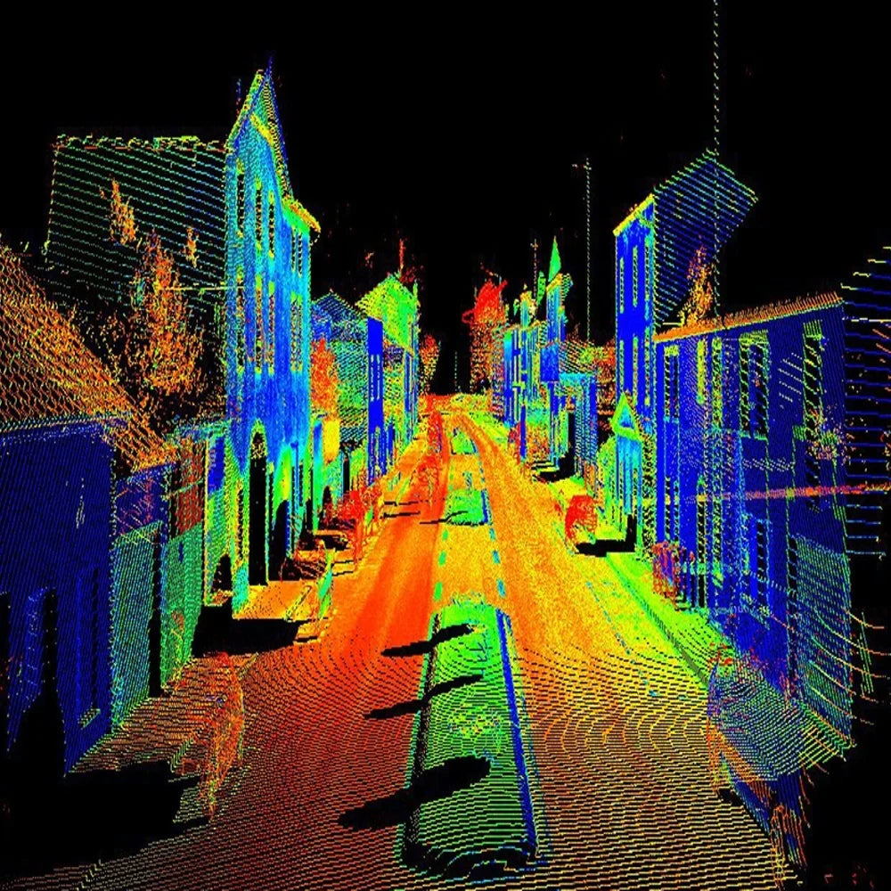
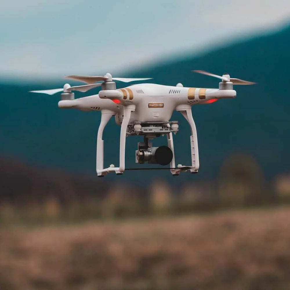
Geomatics is the automation of digital surveying and is based on the application of the art and science of metrology and the collection of spatial data management, and we are working on the use of advanced technologies and information technology, such as positioning using the satellite system, mobile mapping system and laser scanning, aerial photography and satellite photography in addition to drones In addition to the traditional fields of surveying and mapping, such as geodesy, construction and road surveying, photography and hydrographic surveying, and relatively new fields such as remote sensing, digital applications and geospatial information systems, and from our services in geomatics and surveying are:
- Geodetic works & Mesalliance Survey activities.
- Digital data, maps, and Atlases Production.
- SDGPS and RTK mobile GPS scanning.
- Drone technology.
- Aerial Photography, panoramic imagery, and laser scanning.
- Geographical information systems (GIS), its databases, data and smart applications.
×
![]()